How Does GPS Tracking Work? Ready for its Close-up

Though they existed only in the realm of science fiction until just a few years ago, devices using GPS technology have become common. We use Best GPS trackers in our cars, our phones, and our computers. We use it to keep our kids safe, prevent loss, increase productivity, even to keep time.
Hollywood has fueled a lot of misconceptions about GPS, and global positioning in general. There are no trackers as small as a pill, and they can't be implanted under someone's skin. The size issue doesn't stem from the positioning system or the receivers themselves. It's all about the power source. Though receivers can be as tiny as a fingernail, and most are smaller than a quarter, the battery tech has not been able to keep up. So, a GPS receiver like those in the movies might be able to be manufactured, but it wouldn't actually work. Yet.
Key Takeaways:
- GPS works by using signals from at least 24 satellites to determine precise locations through a process called trilateration.
- GPS accuracy is influenced by the number of visible satellites, environmental factors, and the type of satellite used.
- Advancements in GPS technology, such as new satellite blocks, are improving accuracy and coverage.
- GPS is widely used in navigation, tracking, surveying, and time synchronization, with future innovations likely driven by consumer needs and global expansion.
What is GPS?

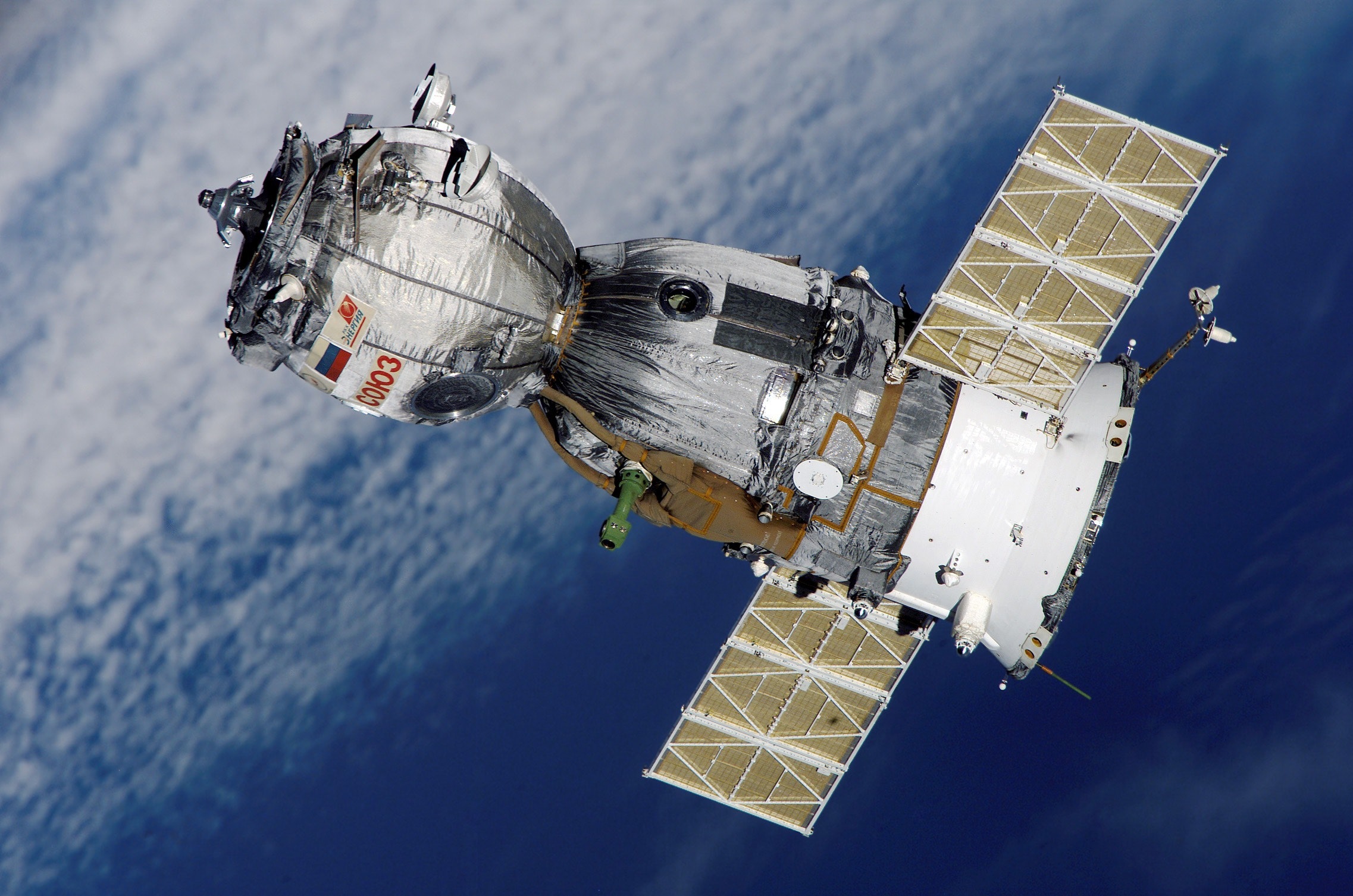
GPS stands for Global Positioning System. The system is made up of at least 24 satellites orbiting the Earth. The satellites communicate with specialized receivers on the ground, providing the exact position of the receivers. As of this writing, there are 31 operational satellites in the GPS constellation. Put in place by the US military starting in 1989, the GPS satellite constellation transmits a signal for its own use and a separate signal that anyone with the technological wherewithal is free to access. This has allowed manufacturers to integrate the technology into their products.
GPS pure trackers satellites are constantly transmitting a signal toward the Earth, which includes their exact position, and the precise time as measured by an atomic clock. Receivers pick up these transmissions, calculate how long it took the signal to reach them, and measure that against their own internal clock. By picking up a signal from at least 3 satellites, the device can then figure out exactly where it is using a process called trilateration: "If satellites are here, here, and here, I must be here." The only information that is actually transmitted by a GPS satellite is its trajectory, along with those of all the other satellites in use, and the exact time of the transmission. The receiver then uses this information to calculate its position in 3-dimensional space as a set of coordinates. We'll talk more later about why this is important.
Planar orbits are planned and maintained so that most areas around the globe are constantly in view of at least 4 satellites. The more satellites in view of a receiver, the more precise it is at detecting location. Under ideal conditions, a receiver's position can be calculated to within a few feet, if not a few inches. The accuracy of a GPS receiver can vary based on multiple factors beyond coverage, like sensitivity, sources of interference, and the kind of satellites in view.
The Satellite Blocks, Current and Future

Currently, there are four types of functioning satellites in the GPS constellation, known as Blocks, with a fifth on
the way.
There were 10 GPS Block IIA satellites still in use as of August, 2011. Two of these have been in service for over 20 years. They were launched between November of 1990 and November of 1997, with an expected lifespan of 7½ years. Though they're aging fast, Block IIA satellites have done impressive work, performing longer than anyone could have expected.
To replace the graying Block IIA satellites, the Block IIR satellite was developed by Lockheed Martin and began service in 1997 with the last launched in 2004. The 12 orbiting IIRs are the core of today's Global Positioning System.
GPS Block IIR(M) satellites began launching in 2005. These improved versions of Block IIR added new jam-resistance for military signals, in addition to being the first to broadcast on L2C, a second civilian signal. L2C is designated for use in commercial applications, improving on accuracy for dual-frequency receivers. L2C also broadcasts at a higher power, allowing for better signal penetration in areas with heavy vegetation cover, and even inside buildings.
The final satellites in the second generation of GPS are known as Block IIF. The first began service in 2010 and the second was launched in 2011. Ten more are planned to launch and replace failing Block IIA units. The IIF series has a longer expected lifespan, 12 years, and is capable of broadcasting on the L5 frequency, the third frequency intended for civilian use. Though it has only gone through preliminary testing, it is expected to begin broadcasting in 2012. L5 is intended for "safety-of-life transportation" applications, such as commercial airlines. In conjunction with the first two civilian GPS frequencies, through a technique known as "trilaning," L5 is expected to provide accuracy under a meter without any sort of augmentation.
Under development is GPS Block III. Due to budget cuts, the series launch has been delayed for over three years. According to a US Air Force official, the GPS III program is actively engaged in the production of the first eight satellites, and hopes to launch the first in that series some time in 2017. From there, the project looks to contract out for ninth and tenth spacecraft to wind up with a total block of ten. The goal of GPS III is to add a fourth civilian GPS signal, L1C, which will allow the GPS network to interact with satellite navigation systems maintained by other governments (Russia, Europe, and possibly China), with the promise of improved service and accuracy worldwide.
Practical (and Impractical) Applications

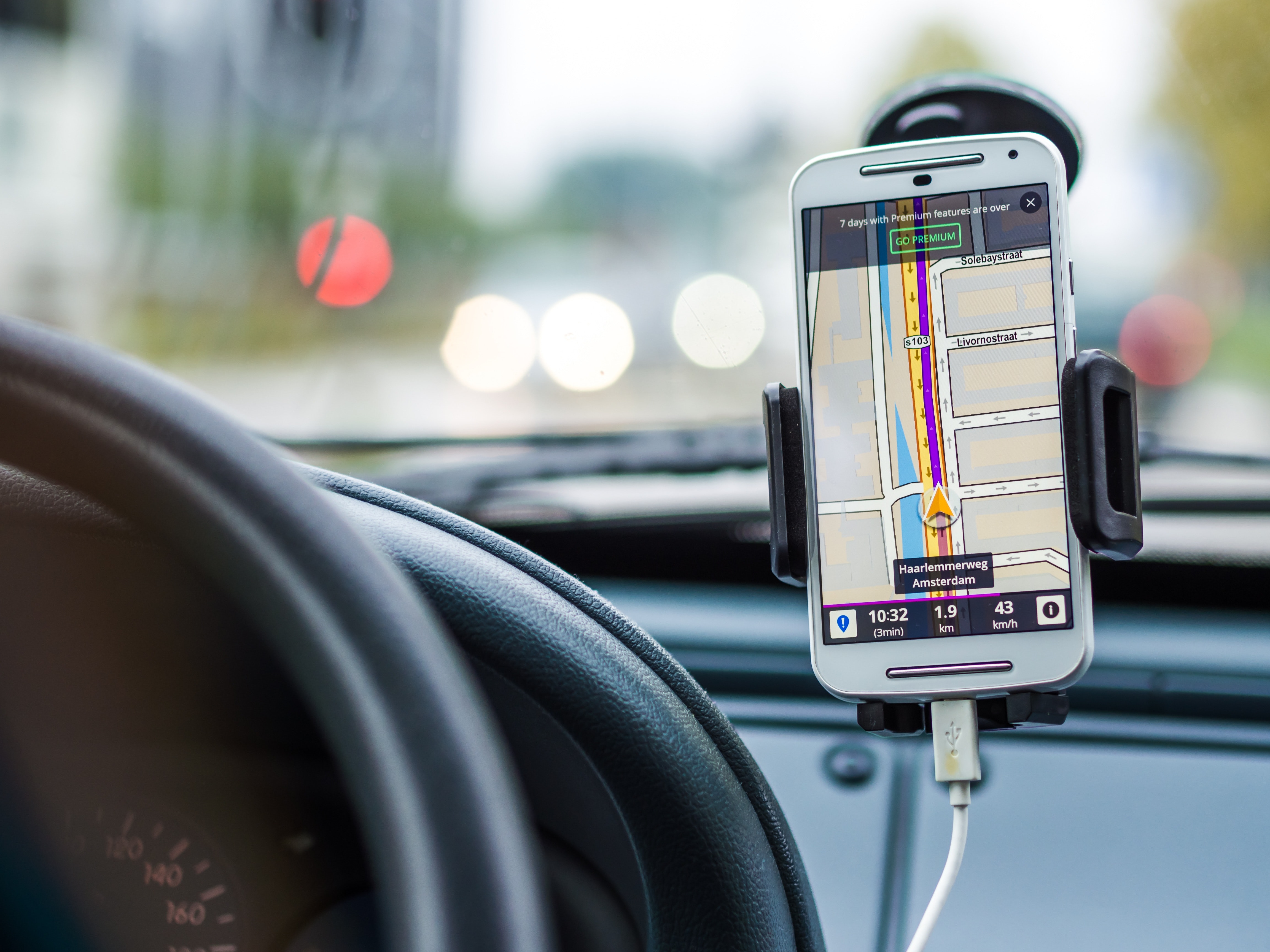
The most common private civilian use for GPS devices is in turn-by-turn navigation systems. These types of systems are sold as standalone units and are regularly integrated into cell phones and automobiles. Typically, their coordinates will be accurate to within a few yards under ideal conditions. As mentioned earlier, GPS receivers are only provided coordinates by the satellite constellation. The navigation device itself must turn that into a usable address that the average person can read.
The way they do this can vary. Some devices require a user to download and install maps. The device will then use those downloaded maps to translate coordinates into addresses. Other devices, like cell phones, will connect to a mapping system on the Internet, transmit the coordinates they receive to a mapping program, and get addresses back. Each method has its advantages. Downloaded maps allow for quicker response times and usage in areas with poor cellular coverage. Internet mapping provides more up-to-date information and decreases the likelihood of outdated maps.
GPS tracking devices work on the same principle, but instead of displaying information, they transmit their data to a server over the Internet. That server hosts a platform that users can access to view the device's current and past locations, and often other information, like speed. Most devices transmit their data using a local cellular network to mitigate costs, but some send out a satellite signal, allowing for use anywhere in the world. Receivers used in surveying have drastically increased precision and efficiency in the field. With specialized tools to augment precision, they can be accurate to within inches on the horizontal plane and the vertical, allowing for height measurements. Surveyors frequently use the GPS international tracker system to measure altitude of features they would otherwise be unable to reach.
In addition to the uses above, there's something else most people wouldn't think of. Everywhere around the world, there are GPS receivers set up to receive the time. Everyone from investment banks to the FAA use GPS time synchronization, taking advantage of the atomic clocks on every GPS satellite. The network your cellular phone is connected to receives its time from the Global Positioning System, allowing everyone to keep precisely the same time. Scientists in remote laboratories use GPS timekeeping in experiments where precise measurements are vital, and even large national laboratories compare signals to ensure that their results are as accurate as possible.
Where the Tech is Going

In the future, the Global Positioning System will continue to be expanded and improved. Integration with multiple satellite navigation systems will allow for faster communications and more accurate responses. The key for future systems will be making the Global Positioning System even more global. With the proposed launch of the GPS III block, coverage across regions aims to be supported with even more consistency and accuracy. Beyond the GPS III block is anybody's guess, but the name of the game now appears to be expanding coverage to as much of the world as possible.
As for personal tracking GPS use, nobody could've anticipated the pervasiveness of activity trackers and the utilitarian nature of cellular-based tracking and maps. Ten years ago, the idea of millions of people monitoring their locations and movements in a near-constant stream would've been unthinkable. Ten years from now, with the prospected rise in augmented and virtual realities, the way everyday people interact with GPS is nearly unfathomable. As a result, consumer interactions, in addition to population growth in the developing world, could conceivably drive innovation in our Global Positioning System's infrastructure. For now, however, the could-be will remain just that yet the excitement surrounding the GPS industry remains at an all-time high.
Posted by Kellie Kendall on Apr 25th 2024


